Diego Garcia - Introduction

About Diego Garcia
Diego Garcia Current Weather
Fraccionamiento Gonzalo Garcia Garcia, Mexico
2026-05-26 03:58
Clear
17.3°C
Temperature:17.3°C |
63.2°F
Feels like:17.3°C |
63.2°F
Other weather information:
| Parameter | Value |
|---|---|
Wind 
|
7.2 km/h |
Pressure 
|
1011 mb |
Humidity 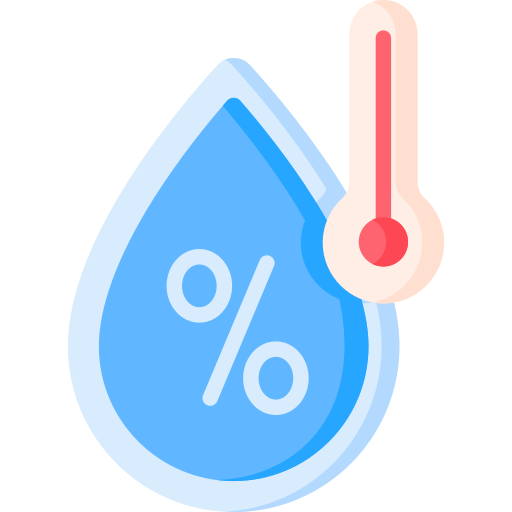
|
67% |
Visibility 
|
10 km |
UV Index 
|
0 |
Precip 
|
0 |