South Tarawa - Introduction
About South Tarawa
South Tarawa Current Weather
Tarawa, Kiribati
2026-06-15 21:50
Light rain shower
28.2°C
Temperature:28.2°C |
82.7°F
Feels like:31.5°C |
88.7°F
Other weather information:
| Parameter | Value |
|---|---|
Wind 
|
6.1 km/h |
Pressure 
|
1011 mb |
Humidity 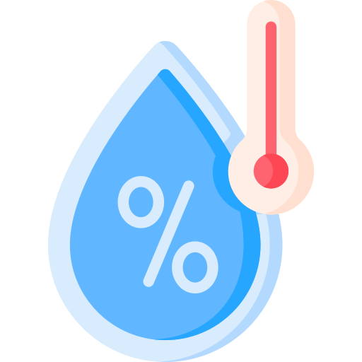
|
73% |
Visibility 
|
10 km |
UV Index 
|
0 |
Precip 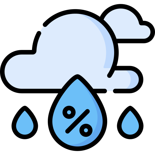
|
1.29 |