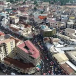
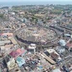
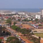
Accra
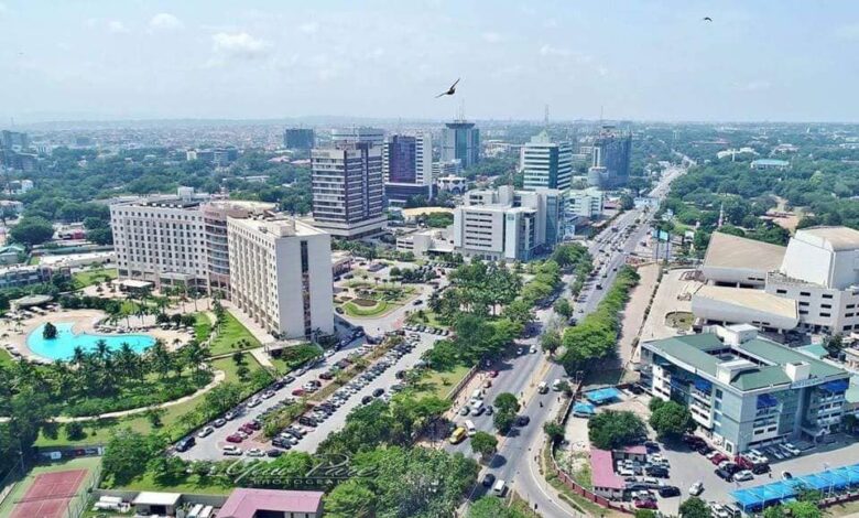
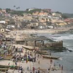
Accra, the capital and largest city of Ghana, is situated on the Gulf of Guinea, an arm of the Atlantic Ocean. The city extends northward over the undulating Accra plains, partly perched on a 25 to 40-foot (8 to 12-meter-high cliff. The region’s susceptibility to faulting occasionally results in earthquakes.
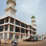
In 1482, when the Portuguese first settled on the coast of present-day Ghana, the area occupied by Accra was home to several villages of the Ga tribe, governed from a central settlement called Ayaso (Ayawaso), located approximately 15 miles (24 km) to the north. Between 1650 and 1680, European settlers erected three fortified trading posts—Fort James (English), Fort Crevecoeur (Dutch), and Christiansborg Castle (Danish)—along the coastal area. During the construction of these European posts, Ayaso was destroyed in a tribal war. Consequently, its population, along with that of other major Ga towns on the Accra plains, migrated to the coast seeking lucrative trade with the Europeans.
This movement led to the emergence of three coastal villages—Osu (Christiansborg), Dutch Accra (later known as Ussher Town), and James Town—which became the core of what is now Accra. The name “Accra” itself is derived from the Akan word “nkran,” referring to the black ants prevalent in the vicinity. Over time, it came to represent the inhabitants of this region on the Accra plains.
Flag of Accra
Map view
More about Accra
| ID |
|---|
| 52149 |
| Name |
| Accra |
| State ID |
| 54 |
| State Code |
| AA |
| State Name |
| Greater Accra |
| Country ID |
| 83 |
| Country Code |
| GH |
| Country Name |
| Ghana |
| Latitude |
| 5.55602000 |
| Longitude |
| -0.19690000 |
| WikiData ID |
| Q3761 |