Sekondi-Takoradi
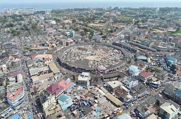
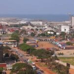
Sekondi-Takoradi, a coastal city situated on the Gulf of Guinea in southern Ghana, is positioned along an embayment of the Atlantic Ocean.
During the 17th century, both the Dutch and the British constructed forts in Sekondi, only to see them destroyed by the Ahanta. Fort Orange, originally built by the Dutch, was later reconstructed and acquired by the British in 1872; it now stands as a functioning lighthouse. The city experienced growth in the 1900s after the establishment of a railway connection to the interior goldfields. However, the significance of its surf port diminished with the inauguration of the artificial harbour in Takoradi in 1928. Sekondi and Takoradi, initially a single municipality since 1946, officially merged into one city in 1963.
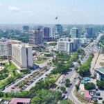
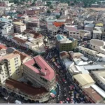
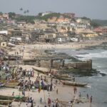
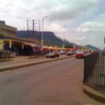
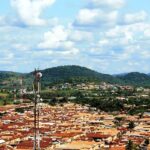
Sekondi showcases a blend of old and contemporary structures across its hilly terrain, stretching down to the seashore. The old port serves fishing and pleasure vessels, with a nearby naval station. Takoradi, on the other hand, boasts a well-planned layout featuring modern buildings and tree-shaded residential zones. The harbour in Takoradi is enclosed by two breakwaters, spanning 220 acres (90 hectares), equipped with quay berths and facilities for loading bauxite and unloading oil. The harbour acts as the endpoint for several Ghana railways and is accessible by road and air. Sekondi-Takoradi is home to light industrial, agricultural, and fishing activities. The bustling market and street vending scene is predominantly managed by women. The population was recorded as 289,593 in 2000 and increased to 539,548 in 2010.
Map view
More about Sekondi-Takoradi
| ID |
|---|
| 52201 |
| Name |
| Sekondi-Takoradi |
| State ID |
| 49 |
| State Code |
| WP |
| State Name |
| Western |
| Country ID |
| 83 |
| Country Code |
| GH |
| Country Name |
| Ghana |
| Latitude |
| 4.92678000 |
| Longitude |
| -1.75773000 |
| WikiData ID |
| Q243293 |
