Pointe-Noire

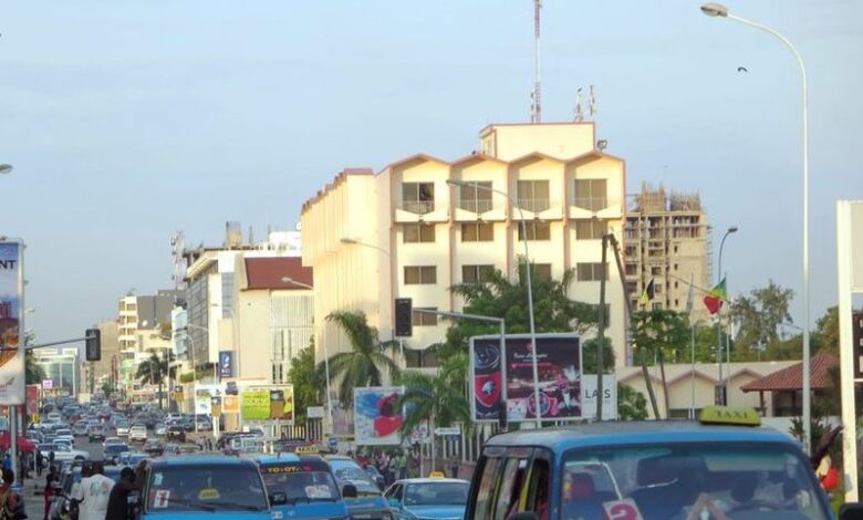
Pointe-Noire is a town located in the Republic of Congo (Congo Brazzaville) and serves as the main port of the country. It is situated at the end of the Congo-Ocean Railway on the Atlantic coast, approximately 95 miles (150 km) north of the Congo River and 245 miles (394 km) west of Brazzaville, which is the national capital.
From 1950 to 1958, Pointe-Noire held the position of capital of the Moyen-Congo region in French Equatorial Africa. However, after gaining independence in 1958, Brazzaville took over as the national capital while Pointe-Noire remained an important trading centre and became the second-largest city in the country.
The construction of the Congo-Ocean Railway, which was completed in 1934, played a significant role in bypassing the challenging rapids of the lower Congo River. Although Pointe-Noire is located on a peaceful bay, its port facilities were not fully developed until 1939, with further expansion occurring during World War II.
Additionally, an international airport was constructed south of the town. Over time, light industries and mineral-processing plants were established, but the primary significance of Pointe-Noire lies in its transit trade.
More about this city
| ID |
|---|
| 17353 |
| Name |
| Pointe-Noire |
| State ID |
| 2863 |
| State Code |
| 16 |
| State Name |
| Pointe-Noire |
| Country ID |
| 50 |
| Country Code |
| CG |
| Country Name |
| Congo |
| Latitude |
| -4.77609000 |
| Longitude |
| 11.86352000 |
| WikiData ID |
| Q223920 |

