American Samoa
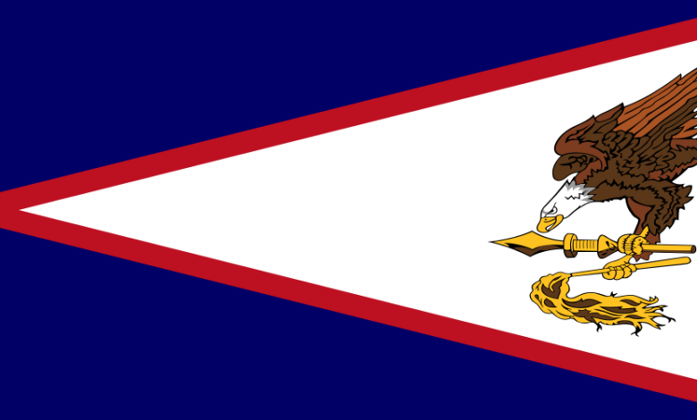
Learn more about the country American Samoa, the capital city, location, geography, government and much more.
American Samoa (Samoan: Amerika Sāmoa, pronounced [aˈmɛɾika ˈsaːmʊa]; also Amelika Sāmoa or Sāmoa Amelika) is an unincorporated territory of the United States located in the South Pacific Ocean, southeast of the island country of Samoa. Its location is centred on 14.3°S 170.7°W / -14.3; -170.7. It is east of the International Date Line, while Samoa is west of the Line. The total land area is 199 square kilometres (76.8 sq mi), slightly more than Washington, D.C. American Samoa is the southernmost territory of the United States and one of two U.S. territories south of the Equator, along with the uninhabited Jarvis Island. Tuna products are the main exports, and the main trading partner is the rest of the United States.
American Samoa is an unincorporated overseas territory of the United States. The island territory shares maritime borders with Samoa, Tonga, Cook Islands (New Zealand), Niue (New Zealand), and Tokelau (New Zealand).
It is the United States’ only territory south of the equator. The archipelago is situated east of the island of Samoa, about 4,200 km (2,600 mi) southwest of Hawaii, (Western Samoa) and 1,200 km northeast of Fiji.
With an area of 199 km² American Samoa is about three-quarters the size of Malta, or slightly larger than Washington, DC.
American Samoa has a population of 57,000 (in 2021), and the capital town is Pago Pago on the island of Tutuila. Spoken languages are Samoan 89% (closely related to Hawaiian and other Polynesian languages), English 4%, and Tongan.
The first sparse contacts with Europeans began in the early 18th century and were intensified with the arrival of English missionaries and traders in the 1830s.
International rivalries had been settled by the Treaty of Berlin in 1899, in which Germany and the USA divided the Samoan archipelago. The USA formally occupied their part.
A unique cultural feature of the entire archipelago is the coexistence of modern American lifestyle and Samoan traditions, which are related to the language, clothing, food, customs, and even properties.
Government:
The unincorporated and unorganized territory of the US; is administered by the Office of Insular Affairs, a unit of the US Department of the Interior.
Chief of State: President of the United States
Independence: none
Geography:
Location: Oceania, a group of islands in the South Pacific Ocean, about halfway between Hawaii and New Zealand.
Area: 199 km² (115 sq. mi.; includes Rose Island and Swains Island)
Climate: Tropical; dry season (May to October), rainy season (November to April).
People:
Nationality: American Samoan(s).
Ethnic Groups: Samoan (Polynesian) 89%, Caucasian 2%, Tongan 4%, other 5%.
Religions: Christian Congregationalist 50%, Roman Catholic 20%, Protestant, and other 30%.
Languages: Samoan (closely related to Hawaiian and other Polynesian languages), English.
Literacy: 97%
Natural resources: Pumice (very light, porous volcanic rock).
Agriculture products: Bananas, coconuts, vegetables, taro, breadfruit, yams, copra, pineapples, papayas, dairy products, livestock, and fish.
More information
|
Location of American Samoa
(circled in red) |
|
| Sovereign state | |
|---|---|
| Partition of Samoa | December 2, 1899 |
| Ratification Act | February 20, 1929 |
| Capital | Pago Pago |
| Government seat | Fagatogo |
| Largest village | Tāfuna |
| Official languages |
|
| Ethnic groups
|
|
| Religion
|
|
| Demonym(s) | American Samoan |
| Government | Devolved presidential constitutional dependency |
| Joe Biden (D) | |
|
• Governor
|
Lemanu Peleti Mauga (D) |
| Salo Ale (D) | |
| Legislature | Fono |
| Senate | |
| House of Representatives | |
| United States Congress | |
| Amata Coleman Radewagen (R) | |
| Area | |
|
• Total
|
77 sq mi (200 km2) |
| Highest elevation
|
970 m (3,170 ft) |
| Population | |
|
• 2022 estimate
|
45,443[1] (213th) |
|
• 2020 census
|
49,710[2] |
|
• Density
|
670.8/sq mi (259.0/km2) |
| GDP (PPP) | 2020 estimate |
|
• Total
|
$709 million[3] |
|
• Per capita
|
$11,200 (2016)[1][4] |
| Currency | United States dollar (US$) (USD) |
| Time zone | UTC−11:00 (SST) |
| Date format | mm/dd/yyyy |
| Driving side | right |
| Calling code | +1–684 |
| USPS abbreviation |
AS
|
| ISO 3166 code | |
| Internet TLD | .as |
Some official sites in American Somoa
The archipelago is an Unorganized US Territory, an area that does not belong to any US state and therefore has no self-administration. But in fact, Samoa has a form of self-government with a parliament, the American Samoa Fono.
The USA administers the islands through the Office of Insular Affairs (OIA), a unit of the US Department of the Interior.
Government of American Samoa
The Official Website for the Government of American Samoa.
US Office of Insular Affairs
OIA is the coordinating agency that oversees the federal administration in American Samoa and other American insular territories.
Diplomatic Missions
U.S. Embassies around the world
U.S. representations in foreign countries links to the American embassies.
Weather
National Weather Service Pacific Region
Map View
More resources
Office of Insular Affairs: American Samoa
The OIA oversees the federal administration of several United States insular areas.

Wikipedia: American Samoa
Wikipedia’s American Samoa page in many languages.
The World Factbook — American Samoa
The CIA World Factbook about American Samoa.
