Anguilla
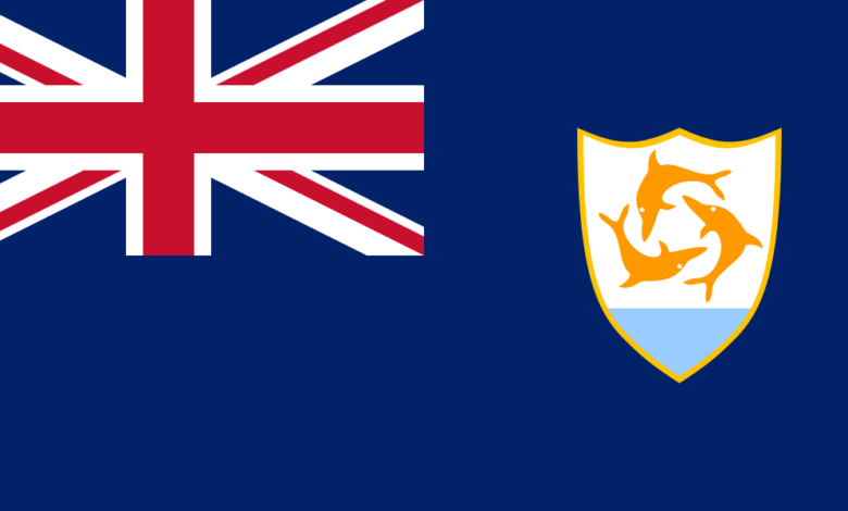
Anguilla ( ang-GWIL-ə) is a British Overseas Territory in the Caribbean. It is one of the most northerly of the Leeward Islands in the Lesser Antilles, lying east of Puerto Rico and the Virgin Islands and directly north of Saint Martin. The territory consists of the main island of Anguilla, approximately 16 miles (26 kilometres) long by 3 miles (5 km) wide at its widest point, together with a number of much smaller islands and cays with no permanent population. The territory’s capital is The Valley. The total land area of the territory is 35 square miles (91 km2), with a population of approximately 15,753 (2021).
Formerly a British colony and briefly united with St. Kitts and Nevis in 1967, it is now a self-governing dependency of the UK. The territory consists of the main island of Anguilla and a number of uninhabited smaller islands and cays.
Map view
Governance
Political system
Anguilla is an internally self-governing overseas territory of the United Kingdom. Its politics take place in a framework of a parliamentary representative democratic dependency, whereby the Premier is the head of government, and of a pluriform multi-party system.
The United Nations Committee on Decolonization includes Anguilla on the United Nations list of non-self-governing territories. The territory’s constitution is the Anguilla Constitutional Order 1 April 1982 (amended 1990). Executive power is exercised by the government, with legislative power being vested in both the government and the House of Assembly. The judiciary is independent of the executive and the legislature.
Defence
As a British overseas territory, the UK is responsible for Anguilla’s military defence, although there are no active garrisons or armed forces present in the territory. Since 2020, the Royal Navy has forward-deployed the offshore patrol vessel HMS Medway long-term to the Caribbean for patrol and sovereignty protection duties.
Anguilla had a small marine police force, comprising around 32 personnel, which operated one VT Halmatic M160-class 52-foot fast patrol boat. Policing on the island is the responsibility of the Royal Anguilla Police Force.
Official sites
The government of the British Overseas Territory is an internally self-governing dependency with a multi-party system and a unicameral parliament (House of Assembly). The head of government is the Chief Minister.
The Governor is the representative of Her Majesty the Queen and the Constitutional Head of State in Anguilla. The Governor presides over the Executive Council and is responsible for foreign affairs, defence and the civil service.
Government of Anguilla
Official site of the Government of Anguilla.
Department of Immigration
The site provides information on immigration laws and policies.
UK Government
Foreign & Commonwealth Office (FCO)
The British Government department is responsible for overseas relations and foreign affairs.
UK Embassies Overseas
Address list of UK Embassies Abroad.
News portals
Public Relation
Anguilla’s (Official) Channel for greater Communications.
Anguilla Lokal News
Anguilla gossip and news online.
The Anguillian
Anguilla’s weekly news online.
Radio
Radio Anguilla
“The Voice of Choice”, with local news.
Transport
Airline
Trans Anguilla Airways
Local Charter Airline.
The Link Ferries – Anguilla, BWI
Link Ferries operate between Anguilla and St. Martin.
Geology and Geography
Anguilla is a flat, low-lying island of coral and limestone in the Caribbean Sea, measuring some 16 miles (26 km) long and 3.5 miles (6 km) in width. It lies to the east of Puerto Rico and the Virgin Islands and directly north of Saint Martin, separated from that island by the Anguilla Channel. The soil is generally thin and poor, supporting scrub, tropical and forest vegetation. The terrain is generally low-lying, with the highest terrain located in the vicinity of The Valley; Crocus Hill, Anguilla’s highest peak at 240 feet (73 m), lies in the western regions of the town.
Anguilla is noted for its ecologically important coral reefs and beaches. Apart from the main island of Anguilla itself, the territory includes a number of other smaller islands and cays, mostly tiny and uninhabited:
- Anguillita
- Blowing Rock
- Dog Island
- Little Scrub Island
- Prickly Pear Cays
- Scrub Island
- Seal Island
- Sombrero, also known as Hat Island
- Sandy Island
- Scilly Cay
Geology
Anguilla (and the wider Anguilla Bank) is of volcanic origin, lying on the Lesser Antilles volcanic island arc, and tuffs and volcaniclastic breccias of Eocene age are exposed locally on the island. The island was largely submerged during the Miocene, leading to the formation of the reefal limestone Anguilla Formation, which was subsequently tectonically uplifted and cover most of the island today. Since the late Pleistocene, however, Anguilla has undergone tectonic subsidence at a rate of around 1-2mm/yr.
Climate
Temperature
Northeastern trade winds keep this tropical island relatively cool and dry. The average annual temperature is 80 °F (27 °C). July–October is its hottest period, and December–February, is its coolest.
Rainfall
Rainfall averages 35 inches (890 mm) annually, although the figures vary from season to season and year to year. The island is subject to both sudden tropical storms and hurricanes, which occur in the period from July to November. The island suffered damage in 1995 from Hurricane Luis and severe flooding 5 to 20 feet (1.5 to 6 metres) from Hurricane Lenny in 1999.
Religion
Christian churches did not have a consistent or strong presence during the initial period of English colonisation; spiritual and religious practices of Europeans and Africans tended to reflect their regional origins. As early as 1813, Christian ministers formally ministered to enslaved Africans and promoted literacy among converts. The Wesleyan (Methodist) Missionary Society of England built churches and schools from 1817.
According to the 2001 census, Christianity is Anguilla’s predominant religion, with 29% of the population practising Anglicanism; another 23.9% are Methodist. Other churches on the island include Seventh-day Adventist, Baptist, Roman Catholic (served by the Diocese of Saint John’s–Basseterre, with the See at Saint John on Antigua and Barbuda) and a small community of Jehovah’s Witnesses (0.7%).
Between 1992 and 2001, the number of followers of the Church of God and Pentecostals increased considerably. There are at least 15 churches on the island. Although a minority on the island, Anguilla is an important location to followers of the Rastafarian religion as the birthplace of Robert Athlyi Rogers, author of the Holy Piby which had a strong influence on Rastafarian and other Africa-centre belief systems. More recently, a Muslim cultural centre has opened on the island.
Education
Education in Anguilla: Is free and compulsory between the ages of five and seventeen. There is one state comprehensive school, six state primary schools and five daycare centres for children under the age of five.
Environment and nature
Anguilla National Trust: ANT was established to act as custodian of Anguilla’s heritage, preserving and promoting the island’s natural environment and its archaeological, historical and cultural resources for present and future generations.
The Gardens of Anguilla: An image guide to Anguilla’s gardens.
UKOTCF – Anguilla
UKOTCF promotes the conservation of plant and animal species and natural habitats of UK Overseas Territories.
Further reading
Towns and cities in Anguilla
The Valley
Check Voyage info and Guide for Anguilla Here Check the weather in Anguilla Here The Valley is the capital city of Anguilla. It is located in the middle of the island, near Crocus Hill, the island’s highest point. The Valley…
