Koforidua
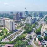
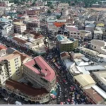
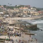
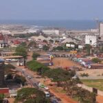
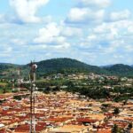
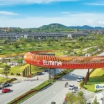
Koforidua, situated in southeastern Ghana, is a historic town located in the Densu River basin, near the southeastern foothills of the Kwahu Plateau.
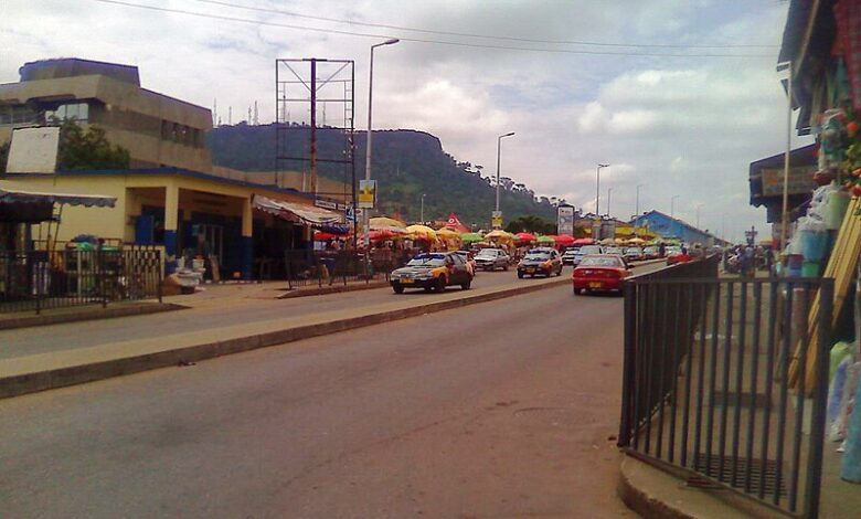
As one of the country’s earliest hubs for cocoa production, Koforidua gained prominence. The completion of the railway connecting Accra and Kumasi in 1923 transformed it into a crucial intersection for both road and rail transportation. Over time, as cocoa cultivation shifted to new areas with fertile soil, Koforidua’s significance evolved, focusing more on its commercial and administrative roles. The town primarily engages in minor industries.
In 2000, the population was recorded at 87,315, and by 2010, it had increased to 120,971.
Map view
More about Koforidua
| ID |
|---|
| 52184 |
| Name |
| Koforidua |
| State ID |
| 50 |
| State Code |
| EP |
| State Name |
| Eastern |
| Country ID |
| 83 |
| Country Code |
| GH |
| Country Name |
| Ghana |
| Latitude |
| 6.09408000 |
| Longitude |
| -0.25913000 |
| WikiData ID |
| Q406358 |