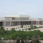
Sarh
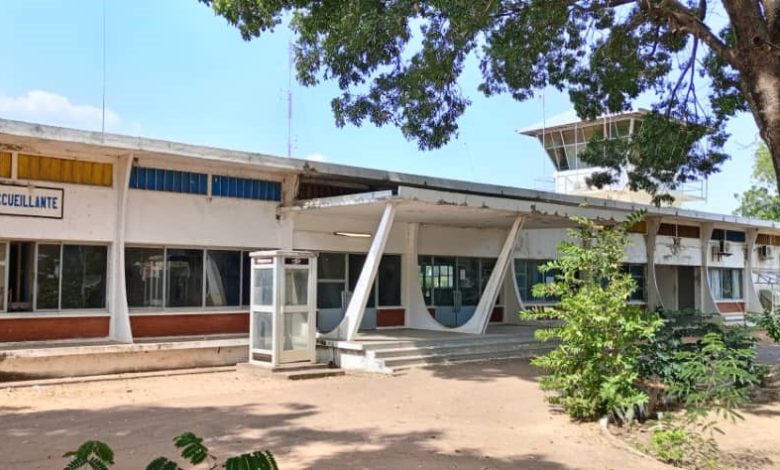
Sarh is the second-largest city in Chad and serves as the capital of the Moyen-Chari region. It is located in the southern part of the country, near the Chari River. Formerly referred to as the French colonial Fort Archambault, it was founded by the colonial French Equatorial Africa, for returnees from the labour camps associated with the construction of the Congo-Ocean Railway. The French in Sarh constructed a significantly large textile complex in 1967.
| ID |
|---|
| 105156 |
| Name |
| Sarh |
| State ID |
| 3570 |
| State Code |
| MC |
| State Name |
| Moyen-Chari |
| Country ID |
| 43 |
| Country Code |
| TD |
| Country Name |
| Chad |
| Latitude |
| 9.14290000 |
| Longitude |
| 18.39230000 |
| WikiData ID |
| Q337530 |
Geography
Sarh, situated along the Chari River, lies approximately 350 miles (560 km) southeast of Chad’s capital, N’Djamena. Its name pays homage to the Sara people of southern Chad, from whom it draws its cultural roots.
Ranked as the third-largest city in Chad, following N’Djamena and Moundou, Sarh boasts a significant presence within the nation.
In terms of climate, Sarh experiences a typical tropical savanna climate (Köppen Aw), akin to other regions in southern Chad and the East Sudanian savanna. This climate pattern entails distinct wet and dry seasons, with consistently high temperatures throughout the year. On average, Sarh sees a yearly high temperature of 34.9 °C (94.8 °F) and a low temperature of 20.9 °C (69.6 °F). The hottest months fall between March and May, just preceding the onset of the wet season. March records the highest average high temperature at 39.1 °C (102.4 °F), while April witnesses the highest average low temperature at 24.7 °C (76.5 °F). In contrast, August marks the coldest period, with an average high of 30.6 °C (87.1 °F) and December having the lowest average low at 16.4 °C (61.5 °F).
Annual rainfall in Sarh measures approximately 969.3 millimetres (38.16 in) over 86 precipitation days, demonstrating a clear wet and dry season characteristic of tropical savanna climates. Notably, December receives no precipitation, and rain is scarce from November to March. August is the wettest month, receiving an average of 243.7 millimetres (9.59 in) of rainfall over 18 precipitation days. Humidity levels fluctuate significantly between the wet and dry seasons, with February recording a humidity of 29% and August soaring to 82%. Sarh enjoys an average of 2737.3 hours of sunshine annually, with a relatively even distribution throughout the year, albeit slightly diminished during the wet season. December and January typically receive the highest sunshine hours, while July experiences the least.
Education
In terms of education, we have key high schools like:
- Lycée Ahmed Mangué (public)
- Lycée-Collège Charles Lwanga (private, Catholic)
- Lycée-Collège Humanité (private, Baptist)
Universities here include;
- IUSAES (Institut Universitaire des Sciences Agronomiques et de l’Environnement de Sarh): a tertiary college established in 1997.
- University of Sarh: a public university established in 2010.
- ISMEA (Institute of Science of Management and Economic Applied): founded by NGOs, and established in 2008.