Tamale
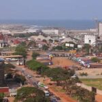
Tamale is a town situated in north-central Ghana, perched at an elevation of 600 feet (183 meters) above sea level on a plain located 22 miles (35 km) to the east of the White Volta River.
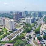
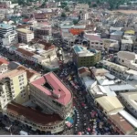
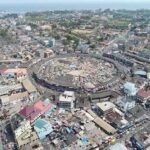
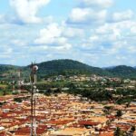
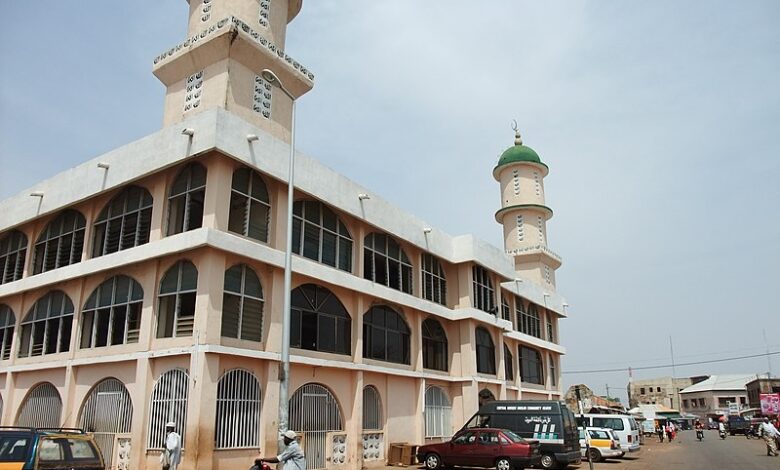
Characterized by its modern infrastructure and broad streets, Tamale plays a pivotal role as the administrative, financial, commercial, and transportation hub for the northern region of Ghana. Surrounded by densely populated villages, the town also serves as an educational centre, hosting various teacher-training colleges, secondary schools, and facilities for artisan training. The Vernacular Literature Bureau in Tamale contributes to mass literacy campaigns by providing newspapers and literature.
Tamale serves as a focal point for agricultural trade, boasting cotton-milling and shea-nut enterprises. The town is strategically positioned along the main road northward from Kumasi, with additional roads connecting it from the east and west. Tamale is accessible by air, thanks to its airport.
Since the mid-1970s, government assistance has prioritized initiatives such as road reconstruction, market expansion, industrial development, and sanitation improvements in Tamale. As of the year 2000, the population stood at 202,317, which increased to 371,351 by 2010.
Map view
More about Tamale
| ID |
|---|
| 52208 |
| Name |
| Tamale |
| State ID |
| 51 |
| State Code |
| NP |
| State Name |
| Northern |
| Country ID |
| 83 |
| Country Code |
| GH |
| Country Name |
| Ghana |
| Latitude |
| 9.40079000 |
| Longitude |
| -0.83930000 |
| WikiData ID |
| Q7674984 |